

Carretera 670 Km 0, Coto Sur, Manatí, 00674
056-000-005-25
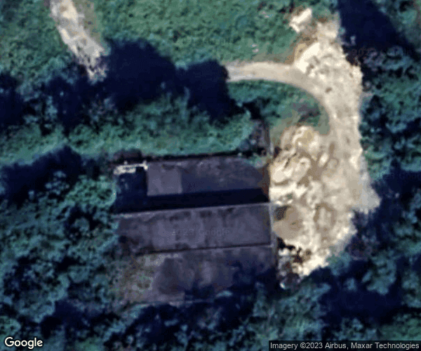
Map
Street View
139,096 ft²
Total Built Area3.166 ac
Total Lot SizeLT-A1
Official ZoningListings: 7
Permits: 8
Zoning Classification: SREP-A (94%), VIAL (6%)
Flood Zone: No
Units: 1
Documents: 0
Description
Updated Nov 14
The parcel located at Carretera 670, Coto Sur, Manatí, is primarily designated as agricultural land, with a significant portion classified under the LT-A1 zoning. This area encompasses approximately 12,813.58 square meters, providing ample space for agricultural activities. The most recent transaction occurred on August 24, 2021, with a sale price of $131,227.94, reflecting the market's interest in this type of land. The property has undergone various permits, including environmental recommendations and construction permits for commercial expansions, indicating ongoing development and interest…
Checking your access…
Listings
Status | Unit | Source | |||||||
|---|---|---|---|---|---|---|---|---|---|
Unit List
Status | Area | Owner / Contact info | ||||||
|---|---|---|---|---|---|---|---|---|
Checking your access…
Checking your access…
Sign in to see this market profile
Sign in to load the live numbers for this location: prices, rents, demographics and cycle position.
 News