

Calle 6, Río Abajo, Humacao, 00791
305-000-002-02
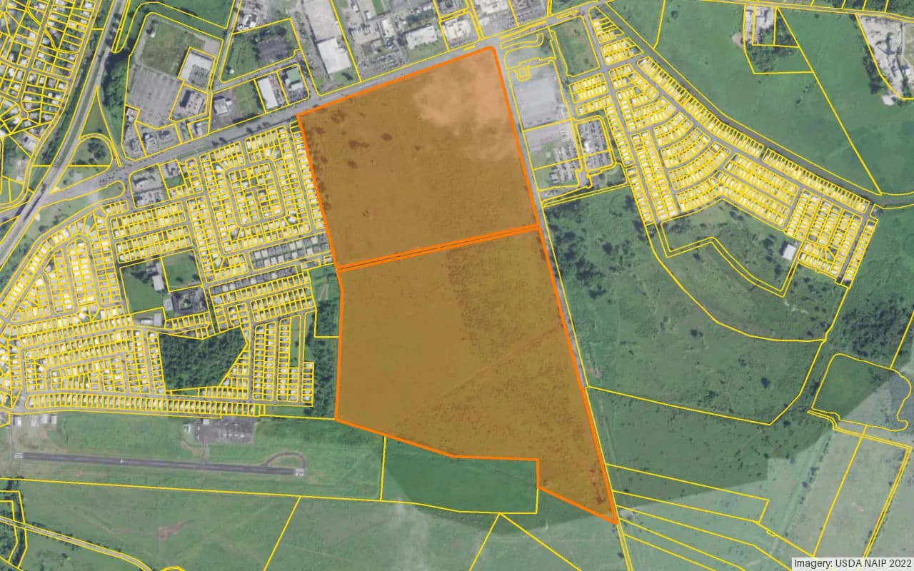
Map
Street View
Map
5,695,330 ft²
Total Built Area135.367 ac
Total Lot SizeR-I
Official ZoningListings: 5
Permits: 30
Zoning Classification: SREP-A (58%), SU (41%), VIAL (1%)
Flood Zone: Yes
Units: 1
Documents: 42
Description
Updated Nov 6
The parcel located at Urbanizacion Villas Del Rio in Humacao encompasses a significant land area of approximately 547,811 square feet, primarily designated for agricultural use under the R-I and I-L zoning classifications. The property has a historical transaction recorded on June 14, 1995, indicating its long-standing presence in the area. The land is characterized by a mix of rural and infrastructural elements, with a small portion allocated to VIAL, indicating its connectivity to local road networks. Recent permits indicate ongoing interest in the property, with multiple requests for recomm…
Checking your access…
Listings
Status | Unit | Source | |||||||
|---|---|---|---|---|---|---|---|---|---|
Unit List
Status | Area | Owner / Contact info | ||||||
|---|---|---|---|---|---|---|---|---|
Checking your access…
Checking your access…
Sign in to see this market profile
Sign in to load the live numbers for this location: prices, rents, demographics and cycle position.
 News