

Carretera 670 Km 0, Coto Sur, Manatí, 00674
056-000-005-25
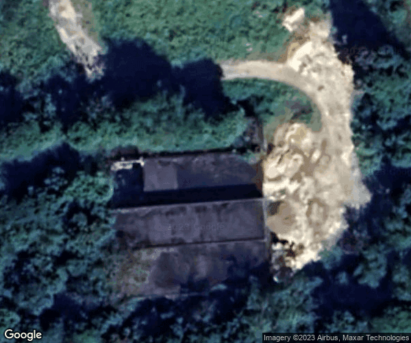
Mapa
Street View
139,096 ft²
Área construida total3.166 ac
Tamaño total del loteLT-A1
Zonificación oficialListados: 7
Permisos: 8
Clasificación de zonificación: SREP-A (94%), VIAL (6%)
Zona de Inundación: No
Unidades: 1
Documentos: 0
Descripción
Actualizado 6 nov
The parcel located at Carretera 670, Coto Sur, Manatí, is primarily designated as agricultural land, with a significant portion classified under the LT-A1 zoning. This area encompasses approximately 12,813.58 square meters, providing ample space for agricultural activities. The most recent transaction occurred on August 24, 2021, with a sale price of $131,227.94, reflecting the market's interest in this type of land. The property has undergone various permits, including environmental recommendations and construction permits for commercial expansions, indicating ongoing development and interest…
Verificando tu acceso…
Listados
Estado | Unidad | Fuente | |||||||
|---|---|---|---|---|---|---|---|---|---|
Lista de Unidades
Estado | Área | Propietario / Información de contacto | ||||||
|---|---|---|---|---|---|---|---|---|
Verificando tu acceso…
Verificando tu acceso…
Inicia sesión para ver este perfil de mercado
Inicia sesión para cargar las cifras reales de esta ubicación: precios, rentas, demografía y fase del ciclo.
 Noticias